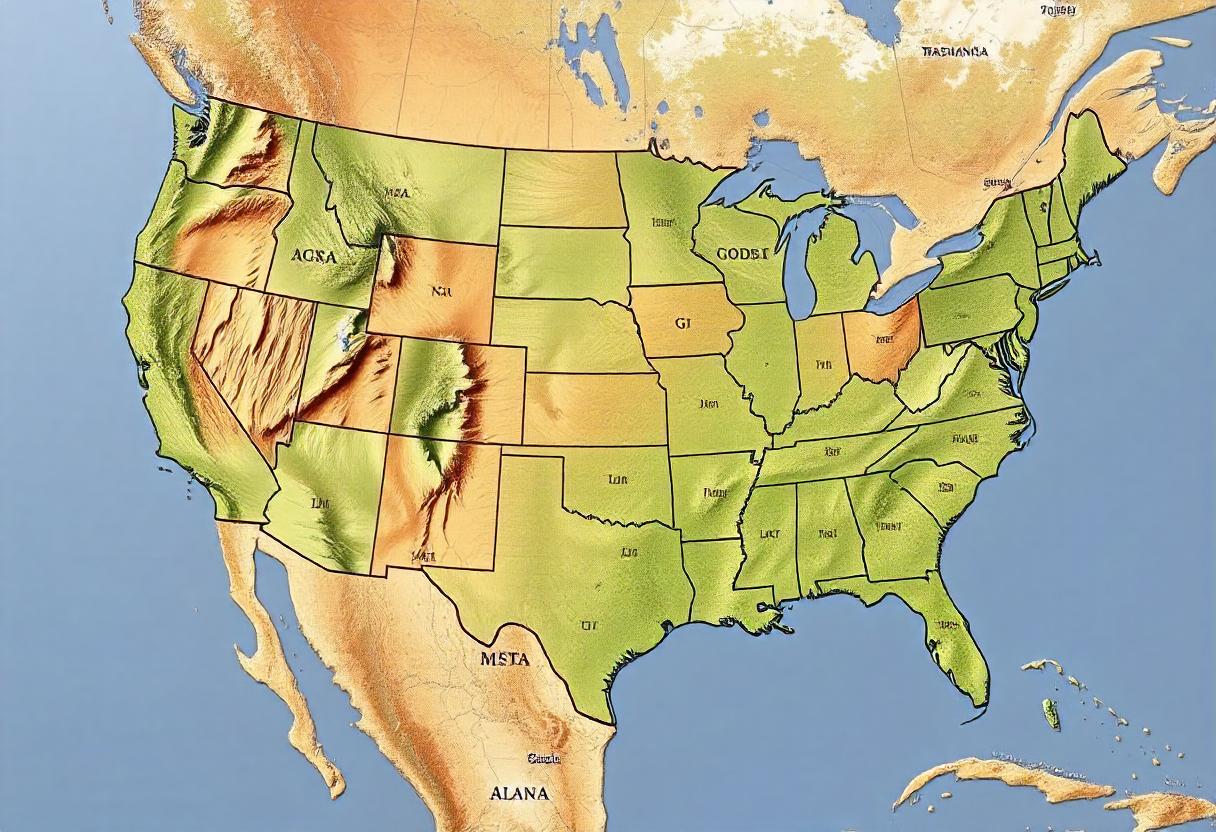
Agriculture zones in the United States, often referred to as USDA Plant Hardiness Zones, are crucial for farmers, gardeners, and agricultural planners. These zones help determine the best regions for growing specific crops based on climate conditions, including temperature, precipitation, and soil quality. The USDA has divided the country into 13 zones, each representing a different range of minimum temperatures, which are essential for predicting plant survival and agricultural success.
Climate-Based Agriculture Zones
The USDA Plant Hardiness Zones are primarily based on the average annual minimum winter temperature. These zones range from Zone 1 (coldest) to Zone 13 (warmest), with subdivisions in between, such as 6a or 6b. For example, Zone 5 covers areas where winter temperatures can drop to -20°F to -10°F, while Zone 9 includes warmer regions with minimum temperatures between 20°F and 30°F.
Understanding the climate-based agriculture zones is essential for selecting crops suited to each zone. For instance, crops like apples and potatoes thrive in cooler zones such as Zones 3 to 6, while citrus fruits and avocados are better suited for the warmer climates of Zones 9 to 11.
Soil Quality and Agriculture Zones
Soil quality varies across the United States, and it plays a significant role in determining agricultural zones. Some regions are known for their fertile, nutrient-rich soils, while others have poor, sandy, or rocky soils that require amendments for successful farming.
The Midwest, known as the “Corn Belt,” is one of the most productive agricultural zones in the USA due to its deep, fertile soils, which are ideal for growing corn and soybeans. On the other hand, the sandy soils of the Southern Plains require additional irrigation and fertilization to support crops like cotton and peanuts. The diverse soil types across the country necessitate region-specific farming techniques to maximize crop yields.
Topography and Agriculture Zones
Topography also influences agriculture zones in the USA, with different elevations and terrains affecting growing conditions. Mountainous regions, such as those found in the Rocky Mountains and Appalachian Mountains, typically experience cooler temperatures and shorter growing seasons, which are ideal for crops like barley and certain root vegetables.
In contrast, the flat plains of the Midwest and the Great Plains provide ideal conditions for large-scale mechanized farming of staple crops like wheat, corn, and soybeans. Coastal areas, with their mild climates and fertile soils, support a wide variety of crops, including fruits, vegetables, and ornamental plants.
Regional Agriculture Zones and Their Specialties
The USA’s diverse agricultural zones contribute to the country’s vast agricultural output. Each region specializes in specific crops based on the characteristics of its climate, soil, and topography:
- Midwest (Zones 4-7): Known as the Corn Belt, the Midwest produces large quantities of corn, soybeans, and wheat, thanks to its fertile soil and favorable climate.
- Southeast (Zones 7-9): The Southeast is a leading producer of cotton, peanuts, and tobacco. Its warmer climate and longer growing season also support fruits like peaches and vegetables like tomatoes.
- West Coast (Zones 7-10): California, part of the West Coast, is one of the most diverse agricultural zones, producing a wide range of fruits, vegetables, and nuts, such as almonds, grapes, and strawberries.
- Northeast (Zones 4-7): The Northeast is known for dairy farming, apples, and maple syrup production, benefiting from its cooler climate and fertile valleys.
Role of Agriculture Zones in Climate Change Adaptation
As climate change continues to affect weather patterns across the USA, understanding agricultural zones is becoming increasingly important. Warmer temperatures, changing rainfall patterns, and extreme weather events are impacting the suitability of traditional farming areas for certain crops. For instance, rising temperatures may push traditional fruit-growing zones northward or reduce yields in historically productive areas.
Farmers and agricultural planners use agriculture zones to make informed decisions about crop selection, irrigation practices, and climate-resilient farming techniques. By adapting to changing conditions within their zones, farmers can continue to optimize productivity while mitigating the effects of climate change.
Technological Advances in Agriculture Zone Mapping
Modern technology has greatly enhanced the ability to map and analyze agriculture zones in the USA. Geographic Information Systems (GIS) and remote sensing technologies allow for the accurate mapping of climate, soil, and topographical data, giving farmers precise information to guide their planting decisions. These tools help monitor shifts in climate patterns and provide real-time data on soil moisture, crop health, and pest activity.
This advanced mapping helps farmers make the most of their agricultural zones by allowing them to adjust to changes more quickly and optimize their farming practices for better yields.