Remote sensing in agriculture involves the use of satellite or aerial imagery to collect data about crops, soil, and other agricultural factors from a distance. This technology offers numerous benefits, enabling farmers and researchers to monitor and manage agricultural activities more effectively.
What is Remote Sensing?
Remote sensing is a technique that uses sensors mounted on satellites, aircraft, or drones to capture images and data from the Earth’s surface. These sensors measure various wavelengths of light reflected or emitted by objects on the ground, providing information about their properties and conditions.
Types of Remote Sensing Systems
Satellite-Based Remote Sensing
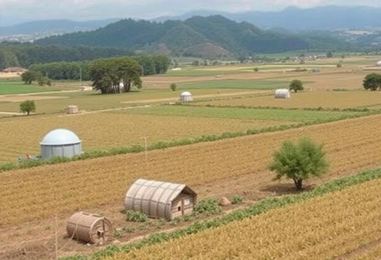
Satellites orbiting the Earth capture images and data over large areas, making them ideal for monitoring broad-scale agricultural activities. They provide information on crop health, soil moisture, and land use patterns.
Aerial Remote Sensing
Aerial platforms, such as drones or manned aircraft, fly closer to the ground compared to satellites. They offer higher resolution images and can be used for detailed monitoring of smaller areas or specific fields.
Applications in Agriculture
Crop Monitoring
Remote sensing allows for the real-time monitoring of crop health and growth. By analyzing the data, farmers can identify areas of stress, disease, or pest infestation early, enabling timely interventions.
Soil Moisture and Nutrient Management
Sensors can measure soil moisture levels and nutrient content, providing valuable insights into soil conditions. This information helps optimize irrigation and fertilization practices, leading to more efficient use of resources.
Precision Agriculture
Remote sensing supports precision agriculture by providing detailed information on crop variability within a field. This enables targeted application of inputs such as water, fertilizers, and pesticides, enhancing crop yields and reducing waste.
Yield Prediction
By analyzing satellite or aerial imagery, remote sensing technology can predict crop yields with a high degree of accuracy. This helps in planning harvests and managing supply chains effectively.
Advantages of Remote Sensing in Agriculture
Improved Efficiency
Remote sensing technology provides timely and accurate data, allowing for more informed decision-making. This leads to improved efficiency in resource management and agricultural practices.
Cost Savings
By optimizing the use of inputs and reducing the need for manual inspections, remote sensing can lead to significant cost savings for farmers.
Enhanced Monitoring and Management
Remote sensing enables continuous monitoring of agricultural activities, providing valuable insights that help in managing crops and resources more effectively.
Challenges and Limitations
Data Interpretation
Interpreting remote sensing data requires specialized knowledge and skills. Misinterpretation of data can lead to incorrect decisions and recommendations.
High Initial Costs
The initial investment in remote sensing technology, including satellites, drones, and software, can be substantial. However, the long-term benefits often outweigh these costs.
Data Integration
Integrating remote sensing data with other agricultural data sources can be challenging. Effective integration is necessary to maximize the benefits of remote sensing technology.
Remote sensing continues to advance, offering new possibilities and improvements in agricultural management. As technology evolves, its role in agriculture is likely to become even more integral, enhancing productivity and sustainability in the sector.